
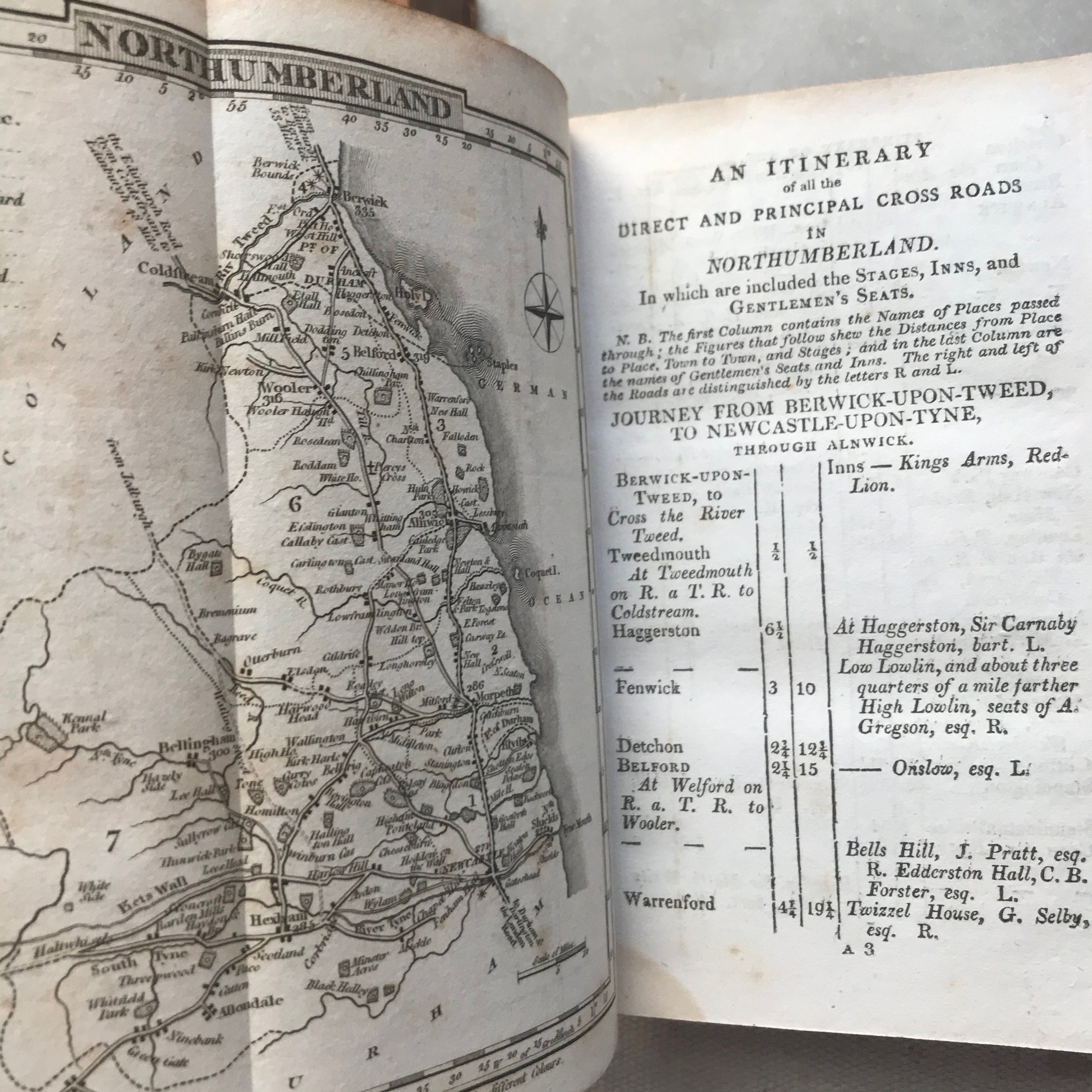

Topographical and Statistical Northumberland, York and Scotland, early 1800s, foldout maps
$85.00
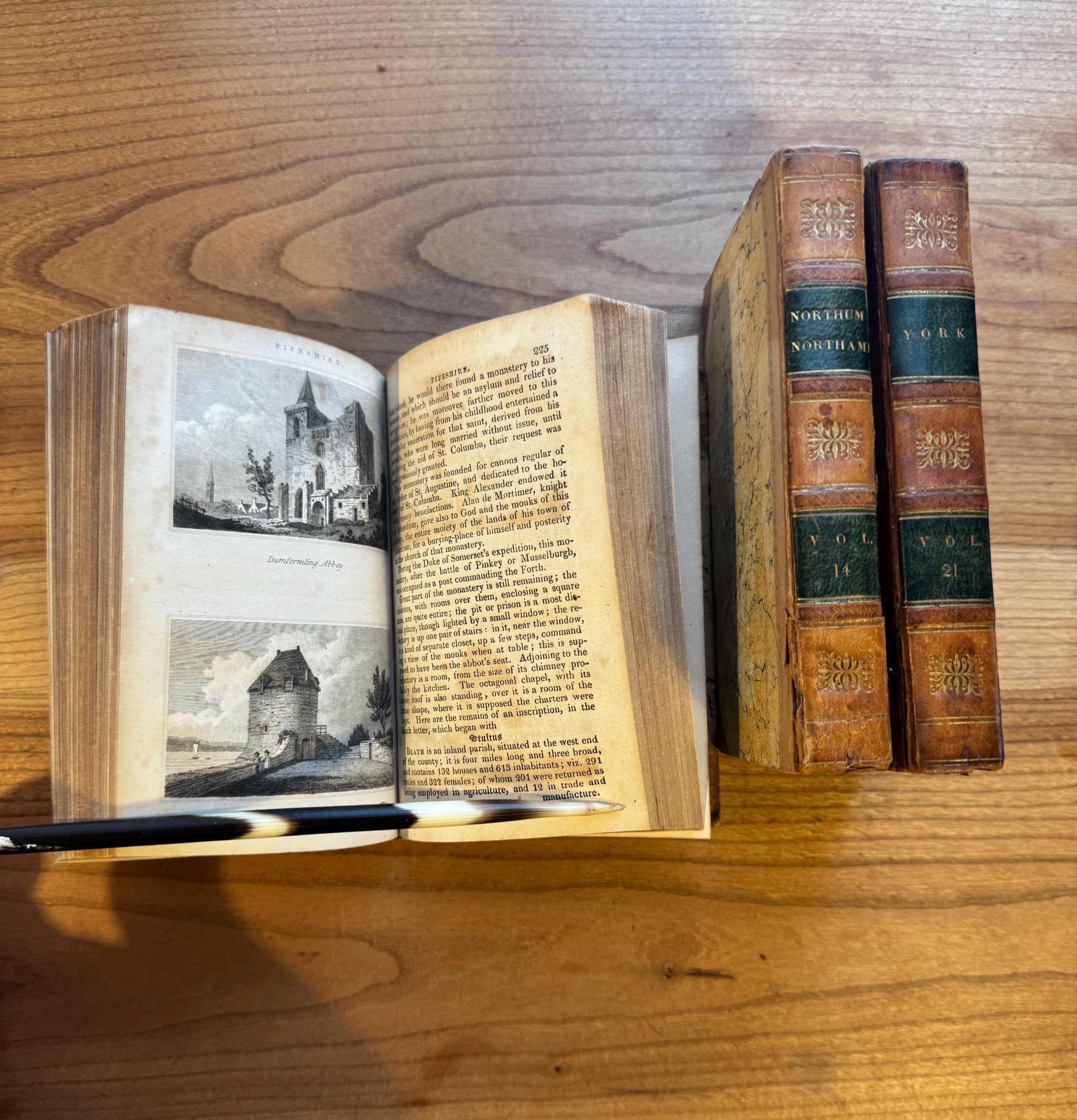
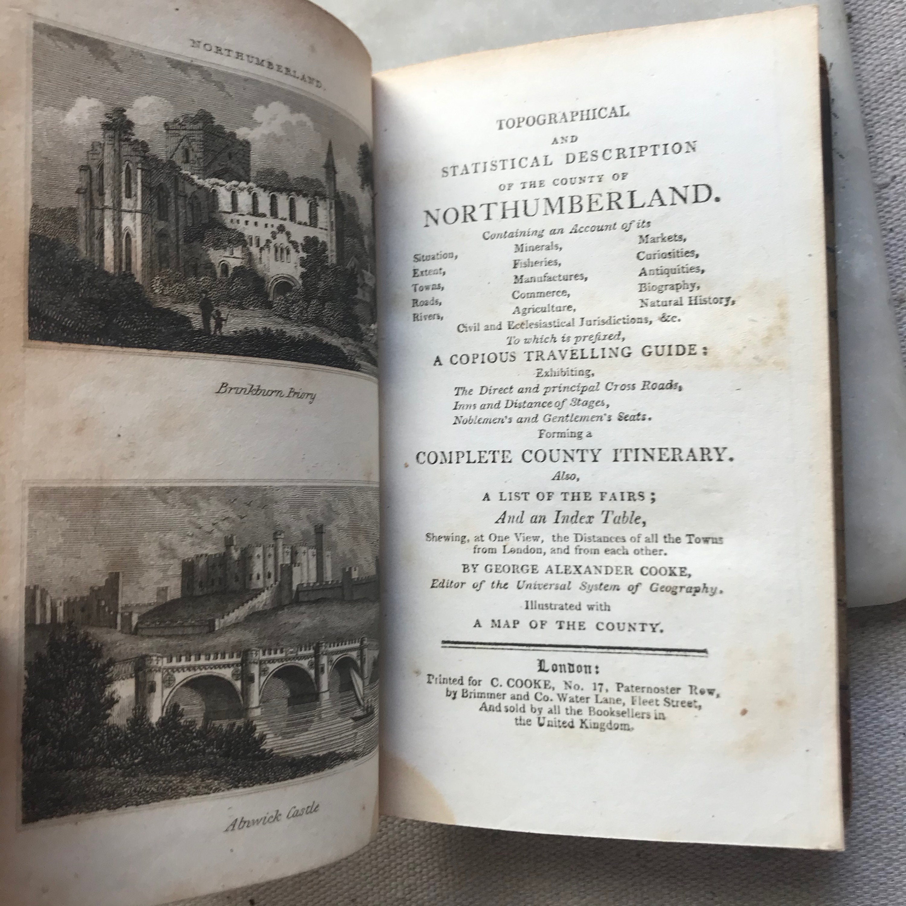
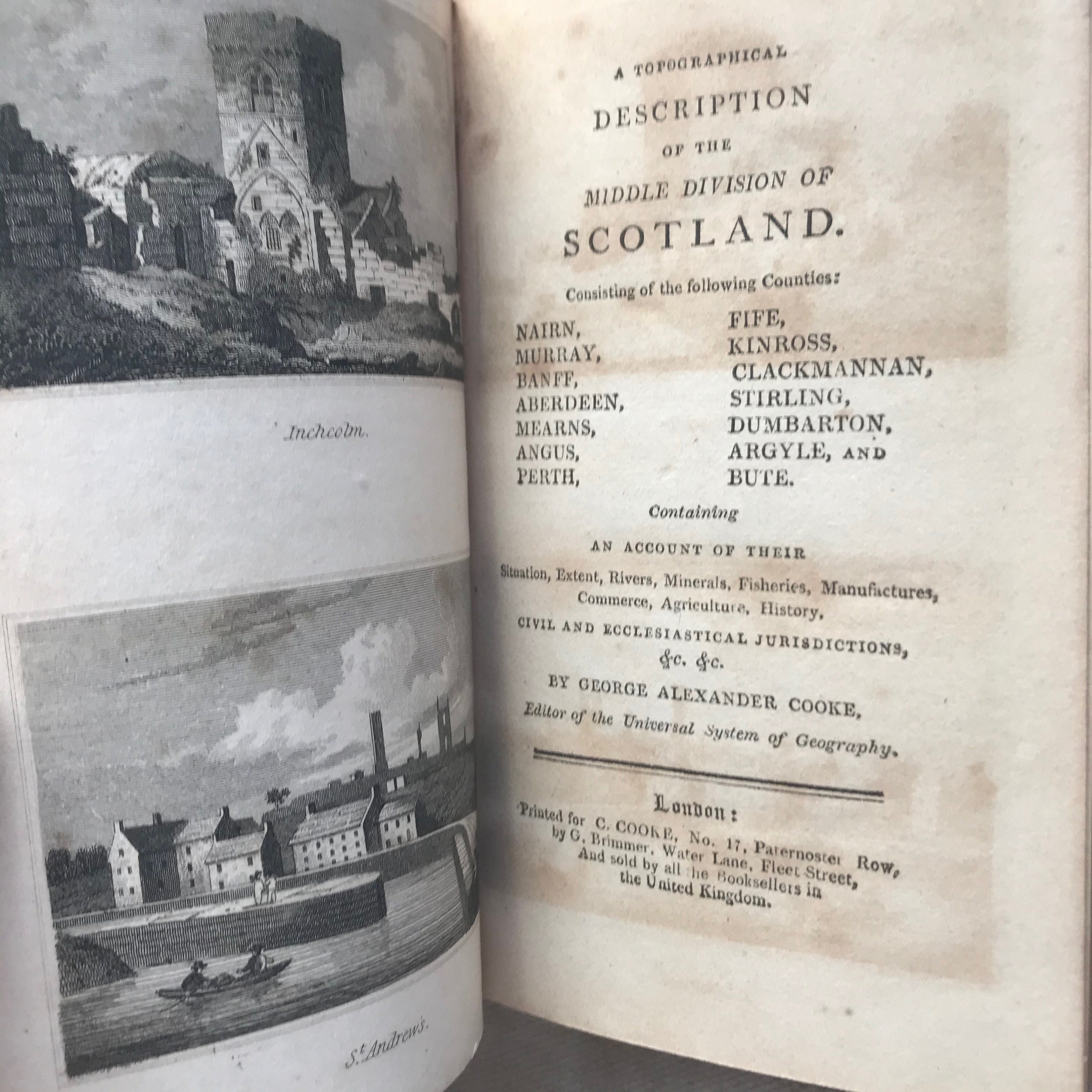
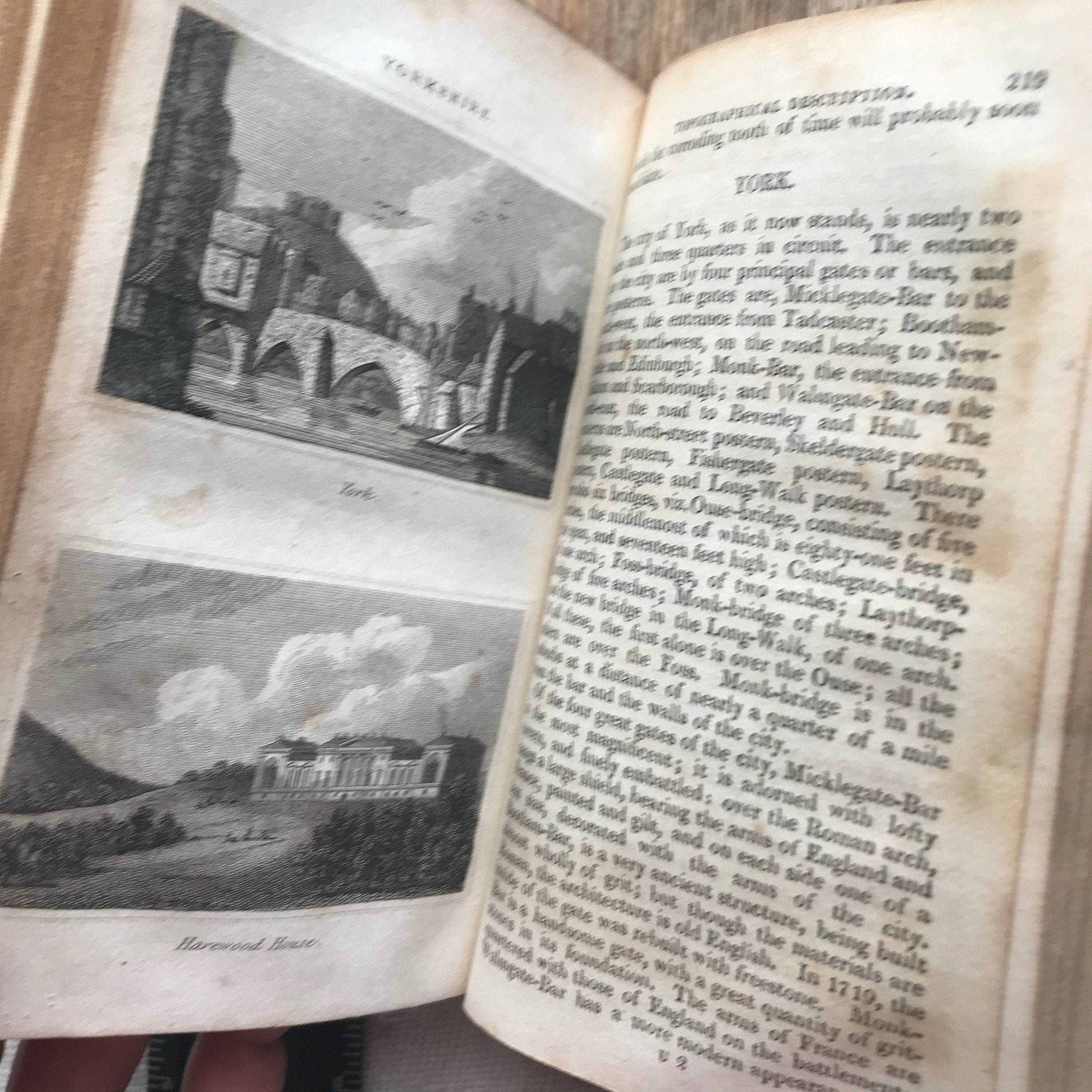
3 volumes from GA Cooke's Topographical and Statistical Descriptions published circa 1830 (undated).
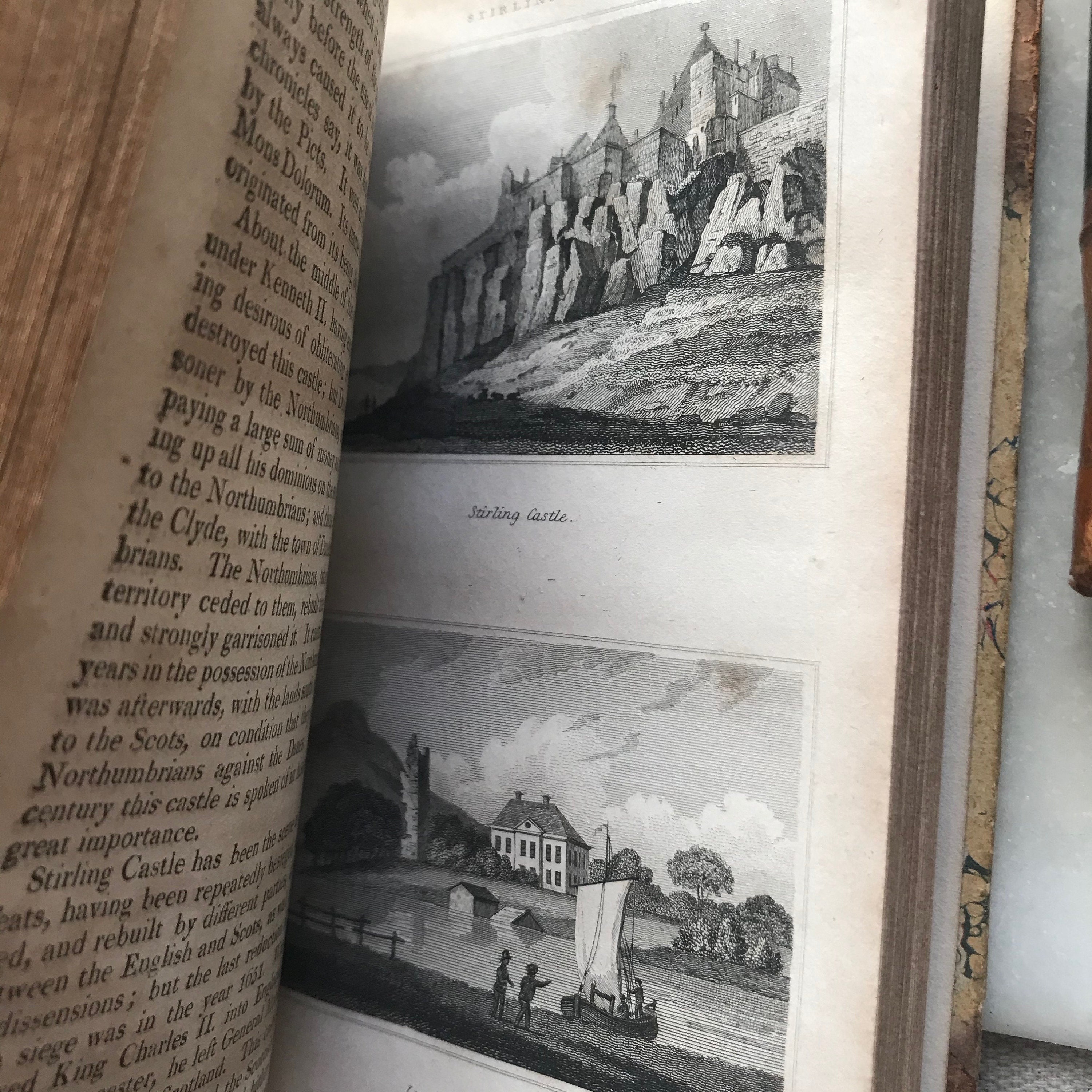
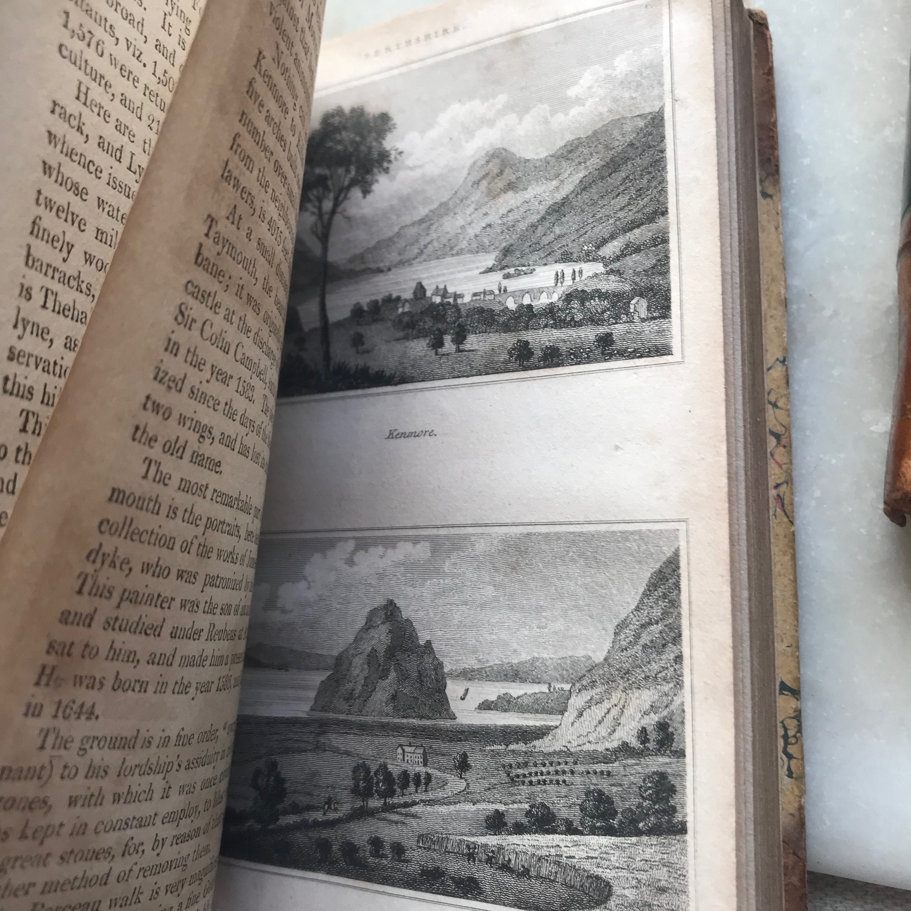
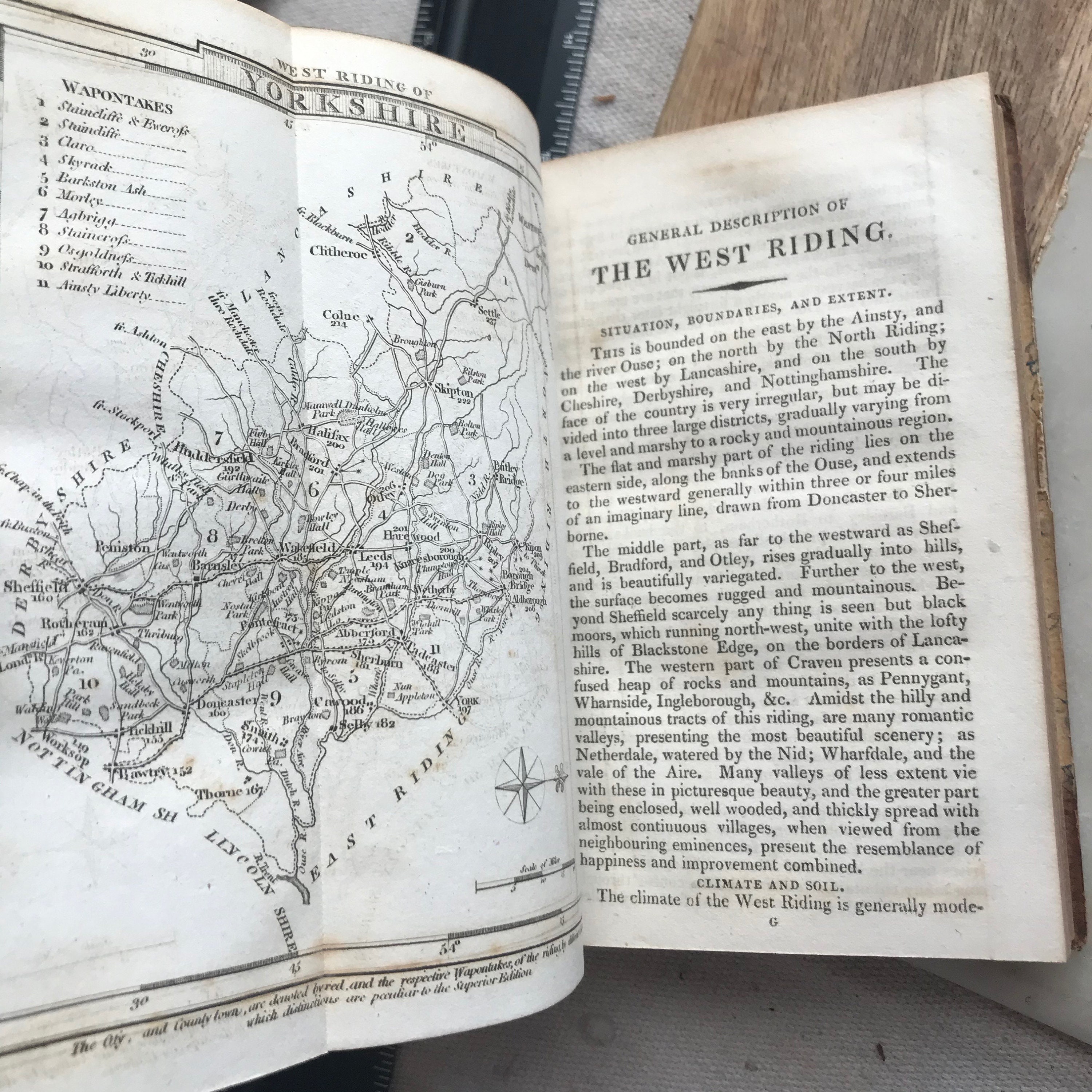
Filled with foldout maps and engravings as well as lists of situations, Mines, Agriculture, extent, fisheries, curiosities, towns, manufactures, antiquities, rivers, trade, natural history, lakes and commerce, markets and fairs.
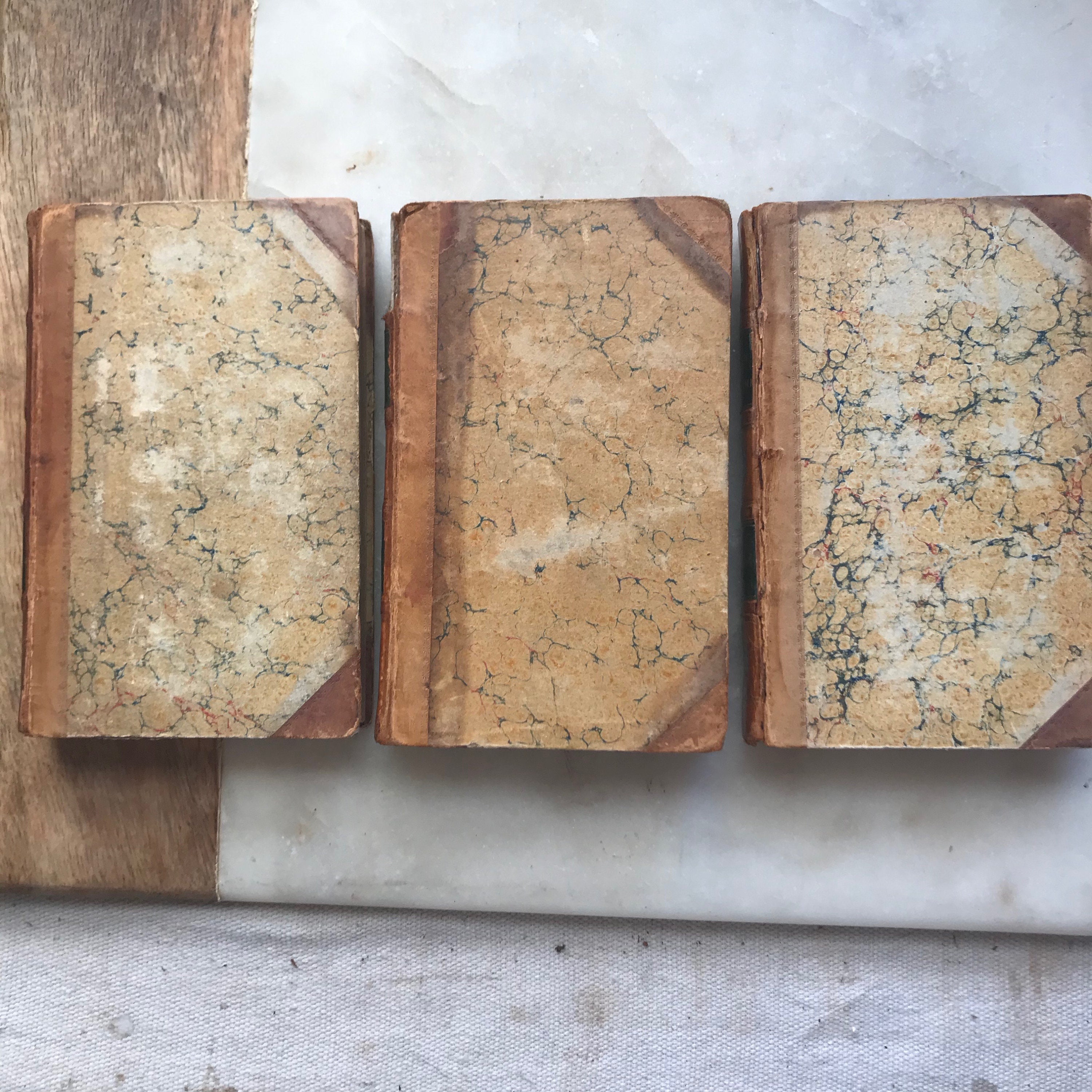
Wear to hinges with Scotland volume having large loss to spine leather. Northumberland has repairs at hinges. Covers and spines have rubbing/scuffs.
Shipping from United States
Processing time
1-3 business days
Customs and import taxes
Buyers are responsible for any customs and import taxes that may apply. I'm not responsible for delays due to customs.